
To Contact us via Email: bearcreek.gis@gmail.com
 More
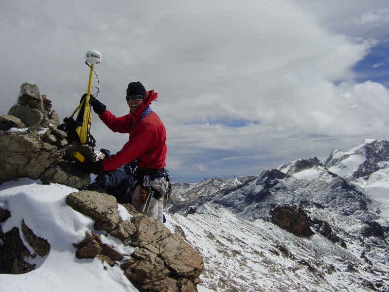
MoreGPS at work - Charkini - Bolivian Andes 17,648'
LInks to trail organizations and resources
Just how accurate are the maps? Take a look at this page.
(scroll down to see a list of publications)
NOTE: The CDT Mapbooks are now available as downloadable PDF files. Click here for information
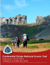
Publications: (Click on a book image for more information)
 CDT
Colorado
CDT
Colorado 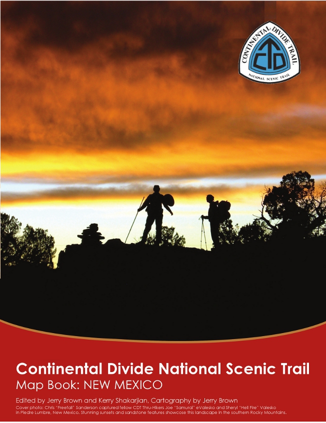 CDT
New Mexico
CDT
New Mexico
![]() CDT Montana
CDT Montana
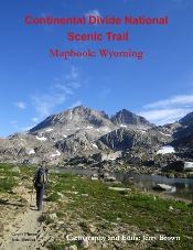 CDT Wyoming
Proceeds from the CDT publications will go towards surveying changes in the trail so these guides will remain current.
 CT Mapbook
 Collegiates Loop
 CT
Guidebook
CT
Guidebook  Mexico Silver
Trail
Mexico Silver
Trail
(C) 2019 by Bear Creek Survey Service. All material on this website is the property of Bear Creek Survey Service and may not be copied or used in any manner without express written permission.