Waypoints or POI's????
Most newer GPS units hold a maximum of
2000 waypoints. Since
long trails such as the CDT have far more waypoints than this, it is necessary to reload the GPS several times along
the way. POI's are a different story. A GPS will
hold an almost unlimited number of POI’s. POI’s work just like
waypoints, except waypoints show the full annotation name on the map. This
is preferable as they afford a bit more information as
they are used to navigate. In contrast, POI’s appear on the map as symbols
only - to view the annotation name you have to click on the symbol.
Clicking on either waypoints or POI's will display associated comments. If
you are going to use Garmin Map Cards, then either the Waypoints or POI's must
be loaded into the main memory of the GPS. In the case of waypoints,
then the 2000 point limit will require re-programming on long hikes such as the CDT.
This is not so in the case of POI's. The entire CDT can be loaded into the GPS, eliminating the need to swap cards or
re-program.
I
strongly suggest that the POI option be considered if you are planning a long distance hike.
Background
Maps
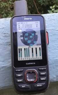
Most of the newer GPS receivers have the ability to display current
position, waypoints, POI's, and tracks on a topographic background
map.Garmin sells pre-loaded cards with nice 24K scale maps which are intended to
be loaded into the SD card slot on the GPS. The cards retail for about $80 each,
and three cards are neccessary for the entire CDT. The cards are write protected
so other data such as waypoints,POI's, and tracks cannot be added. One
solution is to load the data into the main memory of the GPS, leaving the SD
card available for map cards. Another solution is to create your own maps and
install them either on a card or the memory of the GPS along with Waypoints or
POI's and tracks. There is a step by step tutorial on how to create your
own maps on the free download page.
Guthook's Applications for smart phones. Beginning in 2014, new CDT Guthook apps for
smart phones were developed cooperatively by Bear Creek Survey Svc. LLC, High
Sierra Attitude LLC, and Guthook hikes. These apps turn Android or Apple
phones into highly effective GPS receivers with maps, tracks, and data book
information.
The primary drawback of using phones for GPS is
the inability to charge phones in the field. 2014 users had good luck by
carrying a external recharging battery setup which typically weighs between 4
and 7 ounces. This is comparable to what one of the smaller GPS receivers
weighs. (A Etrex 30 weighs 4.7 ounces) Precautions need to be taken to
protect the phones from accidental submersion and shock. Most hikers carry a
cell phone anyway, so if the phone is used as camera, phone, and GPS combined
then overall weight savings can be achieved. Placing the device in Airplane
Mode whenever it is not being used as a phone will increase battery life
dramatically.
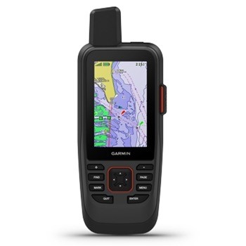
NEW! Autoloader support for the Garmin 66i, 86i,
and Montana 700i, 750i with built in InReach messaging.
66i 86i
Montana 700 or 750i
Several new GPS models from Garmin have just been released. This
is a huge improvement over the Delorme InReach models. See our review of
this unit here. The
Autoloader can be purchased below. The 66i, 66s, and 66st all have a
waypoint capacity of 10,000 points. This eliminates the need to use POI's,
but these units can be set up either way. The Autoloader below uses .gpx
waypoints instead of POI's. If you prefer POI's, get the regular
Autoloader.
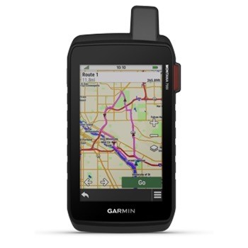
Autoloader GPS setup application for the CDT:
The track files are built from the same highly
accurate database
used for our printed maps.In order to work in a recreational GPS, they
have been thinned to a point interval of 50 feet or so, and some smaller details
such as switchbacks, curves, etc. will not be seen. These are the
the most accurate trackfiles available anywhere for the CDT or The Colorado
Trail. These track
files are not available for free download.
The Autoload program will automate setting up your GPS:
Detailed information on how to use Autoload is here
NOTE: Autoload IS NOT Mac
compatible! It must be run on a PC.
Note: When you order downloads you
may be charged a shipping charge, which is calculated by Paypal and beyond our
control. We will refund this charge when we fill the
order.
Autoload is an installation program that will run on a PC connected to a Garmin
GPS via a USB cable. It will install the necessary files in the Main
Memory of the GPS, thus eliminating the need to have multiple SD
cards. This leaves the SD card slot on the GPS free for maps. Map
cards can be user built, or purchased. If you decide to purchase, I
recommend getting these Garmin 24K cards:
Mountain South: Arizona and New Mexico
Mountain Central: Colorado and Utah
Mountain North: Idaho, Montana, and Wyoming
The Autoload program has proven to be very reliable in most cases. If
for some reason you are unable to set up you GPS using this data and software,
the cost will be applied to the price of custom programming below.
Note: If you select the download version you will receive a e-mail with a
link to download the file. We spend a considerable amount of each winter
out of the country and this may be the only option available during those
periods. Our winter schedule is posted via the link at the top of this
page.
The data matches the waypoints shown in these books:
Download Autoloader and POI waypoints and GPX tracks for the entire CDT
(most Garmin units) $35
If you have a program or GPS device or program that imports GPX
tracks you can make this selection and download the free Waypoint files to set
it up.
Download GPX tracks ONLY for the entire CDT $25
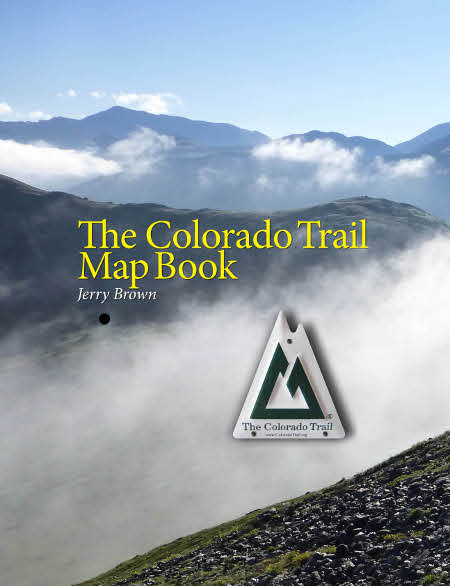
The Colorado Trail
Download Autoloader with POI's and GPX Tracks for the Colorado Trail:
$35.00
The Entire Colorado Trail as GPX Waypoints on a
single SD Card: $15.50
The Entire Colorado trail as POI's on a single SD card: $15.50
GPX waypoints and GPX tracks for the entire Colorado Trail on a single SD card:
$40
Preloaded CDT SD Cards
The track files are built from the same highly
accurate database
used for our printed maps.In order to work in a recreational GPS, they
have been thinned to a point interval of 50 feet or so, and some smaller details
such as switchbacks, curves, etc. will not be seen. These are the
the most accurate trackfiles available anywhere for the CDT or The Colorado
Trail. These track
files are not available for free download.
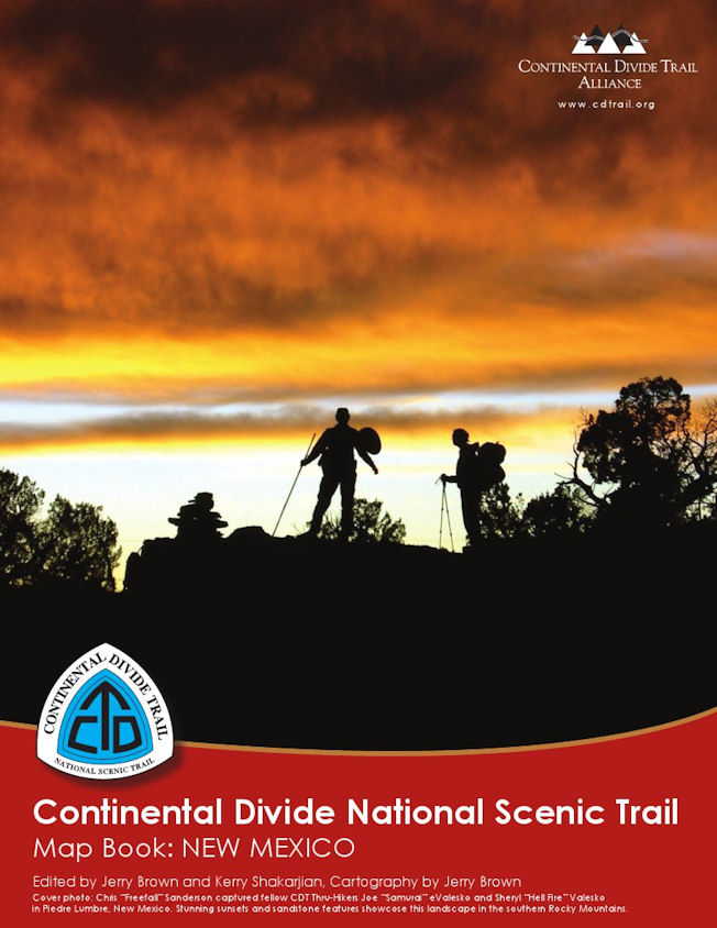
Waypoints go with this book
Item 1-
Continental Divide Trail: New Mexico (Two Cards - for older GPS with
1000 point capacity): $31.00
Item 2-
Continental Divide Trail: New Mexico on a single card (Requires GPS with 2000 waypoint
capacity) $15.50
Item 3- Item 2 plus track files and alternates $25.50
Continental Divide Trail: New Mexico on a single card + Tracks +
Alternates as POI's $25.50
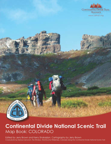
Waypoints go with this book
Item 1-
Continental Divide Trail: Colorado (Two Cards - for older GPS with 1000
point capacity): $31.00
Item 2-
Continental Divide Trail: Colorado on a single card (Requires GPS with 2000 waypoint
capacity) $15.50
Item 3- Item 2 plus track files and alternates $25.50
Continental Divide Trail: Colorado on a single card +
Tracks + Alternates as POI's $25.50
Waypoints go with this book
Item 1-
Continental Divide Trail: Wyoming (Two Cards - for older
GPS with 1000 point capacity): $31.00
Item 2-
Continental Divide Trail: Wyoming on a single card (Requires
GPS with 2000 waypoint
capacity)
$15.50
Item 3- Item 2 plus track files and alternates $25.50
Continental Divide Trail: Wyoming on a single card + Tracks
+ Alternates as POI's $25.50
Waypoints go with this book
Item 1-
Continental Divide Trail: Montana/Idaho (Three Cards - for older GPS with
1000 point capacity): $46.50
Item 2-
Continental Divide Trail: CDT MT/ID Waypoint files on two cards (Requires GPS
with 2000 waypoint
capacity) $31.00
Item 3- Item 2 plus track files and alternates $51.00
Continental Divide Trail: CDT MT/ID Waypoint files on two cards plus tracks +
Tracks + Alternates as POI's $51.00
CDT Alternates
Continental Divide Trail Alternate Routes in gpx format
Important notes about alternate routes: The Alternate Route maps
and waypoints were created using a combination of hiker submitted track files
captured with recreational GPS, USFS shape data, and data recently collected by
us using our professional gear. Because of the multiple data sources, the
lower accuracy of recreational GPS, and lack of control over how it was
collected, the alternate route maps and waypoints are expected to be somewhat
less accurate than those for the official route which was all collected using
professional equipment under strict guidelines. To compensate for this,
multiple tracks were used when available, and the data was carefully edited
using aerial photography and other methods. Many users of the official
route Mapbooks have reported that when using a GPS to navigate to intersections
or other distinct features they are able to routinely close within 15 feet or
so. I expect that distance to be greater using this data and would advise users
to expect discrepancies of 50 to 100 feet in some places. If you find any
gross errors, coding errors, etc., I would appreciate it if you gathered a new
waypoint for the location and sent it to me when you get the chance. The gps
should be set up in the WGS 84 datum, and held above head height whenever you
collect a waypoint.
Data
matches waypoints found in the new CDT Alternates Mapbook for 2014.
Routes included:
New Mexico Columbus - Deming - Gila
Gila River
Walnut Creek - Silver City direct route to Gila River
Old road walk route to Pietown
Cebolla Wilderness
Bonita - Zuni canyon
Mt Taylor Summit
Ghost Ranch
Colorado Creede Cutoff
Collegiate Peaks Low Route (newly opened high route may be impassable in early
season)
Argentine Spine (is also in the CO Mapbook)
Silverthorne
Wyoming Cirque of the Towers
Knapsack Col
Leeds Creek (avoids a difficult navigation area - is also in the WY
Mapbook)
Idaho / Montana Mack's Inn
Anaconda
Spotted Bear (a popular alternate in the Bob Marshall Wilderness)
Dawson Pass (Glacier NP)
Alternates added to cards will be in POI format to overcome the 2000 Waypoint
limit of most GPS receivers.
Continental Divide Trail: Alternate Waypoint files (Two Cards - for older GPS
with 1000 point capacity): $31.00
Continental Divide Trail: Alternate Waypoint files on one card (Requires GPS with 2000 waypoint
capacity) $15.50
Add Autoloader to any other cards listed above - $10.00 per card
Custom Programming - Send your GPS
to us - No Cards needed
We will custom program everything you need to hike the entire CDT into the internal
memory of your GPS for $80.00. This setup leaves the card slot on your GPS
available for using Garmin 24K Map Cards, or if you prefer the classic Waypoint
format, for our programmed Waypoint cards.
Included programming:
POI's - The entire CDT waypoint list in POI format.
Tracks - The track files are built from the same highly
accurate database
used for our printed maps.In order to work in a recreational GPS, they
have been thinned to a point interval of 50 feet or so, and some smaller details
such as switchbacks, curves, etc. will not be seen. These are the
the most accurate trackfiles available anywhere for the CDT or The Colorado
Trail. These track
files are not available for free download. Alternate Routes are only available
as waypoints - they are not available as track files.
Maps: I suggest purchasing these three products from Garmin : Garmin
TOPO US 24K micro SD Data Cards:Topo 24K Mountain South
(010-C0951-00), Mountain Central (010-C0950-00), and Mountain North
(010-C0952-00)
The GPS needs to be shipped
to our address in Colorado via Priority Mail so you are able to track it.
We will return it the same way. We are not responsible for loss in
shipping, so make sure you get tracking. We are out on the trail or
elsewhere much of the year, so set this all up via a phone conversation or
e-mail before sending your GPS. The cost is $80 plus $15 for return
shipping and insurance.
Click here for custom programming of your GPS $80.00
+ $15 shipping and insurance. (CDT)
The setup for The Colorado Trail is a bit different. Because of
the lower number of waypoints, the GPS will be programmed with waypoints instead
of POI's. If you would also like to have background maps added, purchase
the Garmin MapSource TOPO! US 24k Southwest Topographic Coverage of Utah,
Colorado, Arizona, and New Mexico (DVD) and send it with your GPS.
We will create maps using it and return the DVD with the programmed GPS.
Another option is to purchase the TOPO US 24K - Mountain Central SD
card (010-C0950-00). With all
the rest of the data in the main memory of the GPS, the SD card slot is
available for the map card. The cost is $80 plus $15 for return
shipping and insurance.
Click here for custom programming of your GPS $80.00 +
$15 shipping and insurance. (The
Colorado
Trail)
Note: When you order downloads you
may be charged a shipping charge, which is calculated by Paypal and beyond our
control. We will refund this charge when we fill the
order.