The Colorado Trail Cataract Ridge Re-route for Segments 23 and 24
This route follows existing trails along the continental divide from Cataract Lake. This avoids the motorized portions of the Pole Creek Trail, and the Jeep trail connecting the Pole Creek portion to Beartown. It is a really intriguing bicycle alternative as well, as cyclists will emerge at Stony Pass and can descend to Silverton to avoid the Weminuche Wilderness. Cyclists note - much of the route consists of navigating between cairns with no built trail. If you choose to go this way, expect to carry your bike a lot of the time. Bicycles are not allowed south of Stony Pass as this is the boundary for the Weminuche Wilderness Area.
The route is the idea of Merle McDonald, who researched the way beginning in 1998. The proposed trail was GPS'd by Merle McDonald and Jerry Brown in August, 2003. Actual construction on the route began in 2006, when crews working for both the Colorado Trail and Continental Divide Trail spent extensive time on the route. The route is scheduled for completion in 2007, but is marked well with cairns and not particularly hard to follow in it's current state of development. Users should carry a GPS to help find the way. Waypoint data is below.
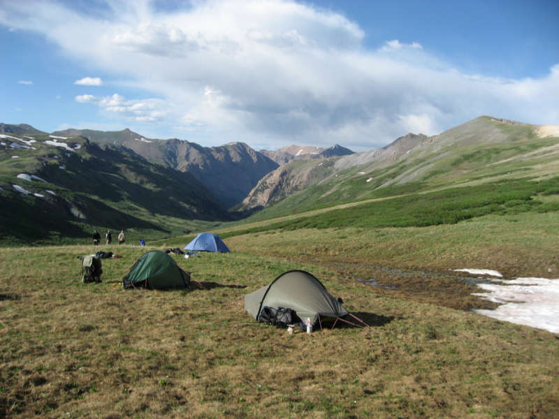
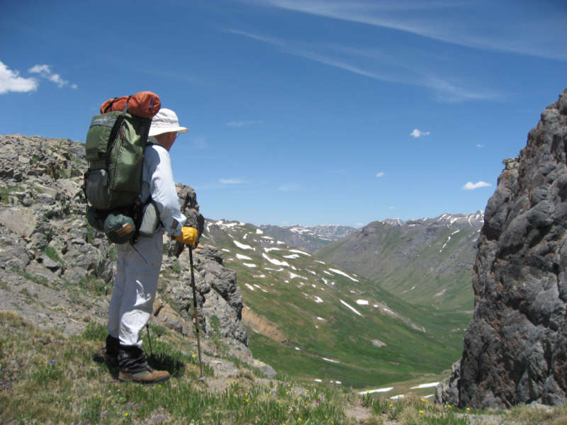
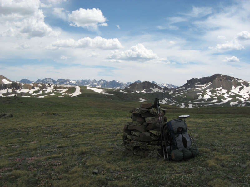
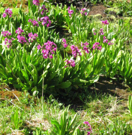
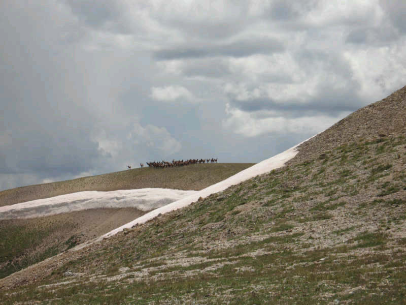
Campsite in Cuba Gulch Merle McDonald enjoys a view Looking towards the SW Some tundra flora Passing Elk herd
(click on photos to enlarge)
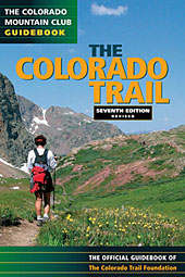
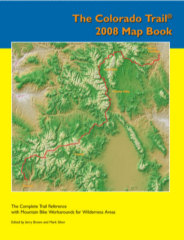
Finding the turnoffs:
Southbound hikers: After passing by the trail heading to Cataract Lake, continue on the main trail past another intersection with West Lost Trail (FS 822) that heads off to the left in a southeast direction. Approximately 2/10ths of a mile further the Cataract Reroute trail takes off to the west. (right) At the time of this writing, there was a sign declaring the trail closed for re-vegetation. If the sign is still there, ignore it and follow the well defined trail up and over a low hill ahead and down to a small pond that is below Cataract Lake. Skirt the pond to the south and pick up the trail.
Northbound hikers: After attaining the ridge of the Continental Divide above Elk Creek, head north for approximately 1400' to a split in the trail. The new route stays high and follows the Continental Divide, and the old route drops down to the southeast and Beartown. The route closely follows the divide to the south. After a short distance, you will be able to see a trail intersection ahead and below you near a small lake that sits on top of the divide. Head for this lake and pass along it's south side on a clearly defined trail. From here onwards the CDT and CDTA (Continental Divide Trail) share a common path.
Northbound from Stony Pass: The trail connects to the road at about the 10.5 mile waypoint. To get on the trail now, go down the road about .5 miles from the pass and look for the trail leaving the road to the east.
Southbound from Stony Pass: The trail heads to the south from a small parking area about 300' east of Stony Pass. There is a interpretive sign at the parking area. The trail is visible heading southwest towards a large cairn on a hilltop.
Maps are below. Click on the link below to view the full sized map then left click to print the map. Right click to download as a file to print later: These are low resolution copies of the maps in the new "The Colorado Trail 2008 Map Book" For information on the map book click here.
Map 1- Seg 23 Mile 02.0 to Mile 09.0.
Map 2 - Seg 23 Mile 9.0 to Seg 24 Mile 01.4
Map 3 - Seg 24 Mile 01.4 to Mile 10.3
GPS Waypoint Data (Updated 05/08 - This is a text file listing the waypoints for manual entry into a gps receiver. Left click on the link above to view then print the list. This GPS data begins where the re-route turns off from the Pole Creek Trail near Carson Saddle and goes to where the old route is rejoined at the top of the Continental Divide above Elk Creek. This data is in NAD 83 Latitude Longitude hddd.ddddd (decimal degrees) format. Your GPS MUST BE SET TO MATCH these settings BEFORE you enter the data! Failure to do this correctly may cause your gps to navigate to the wrong place!
The entire Colorado Trail waypoint list is available in Garmin Mapsource, Magellan Mapsend, GPX, and convertible to other formats. Download HERE
Go to The Colorado Trail Home Page
Go to the Bear Creek Home Page